Augmented reality is turning walking trails into interactive experiences. Here's how AR GPS trail apps work, and why heritage sites, councils and tourism bodies are using them.
What is an AR GPS trail app?
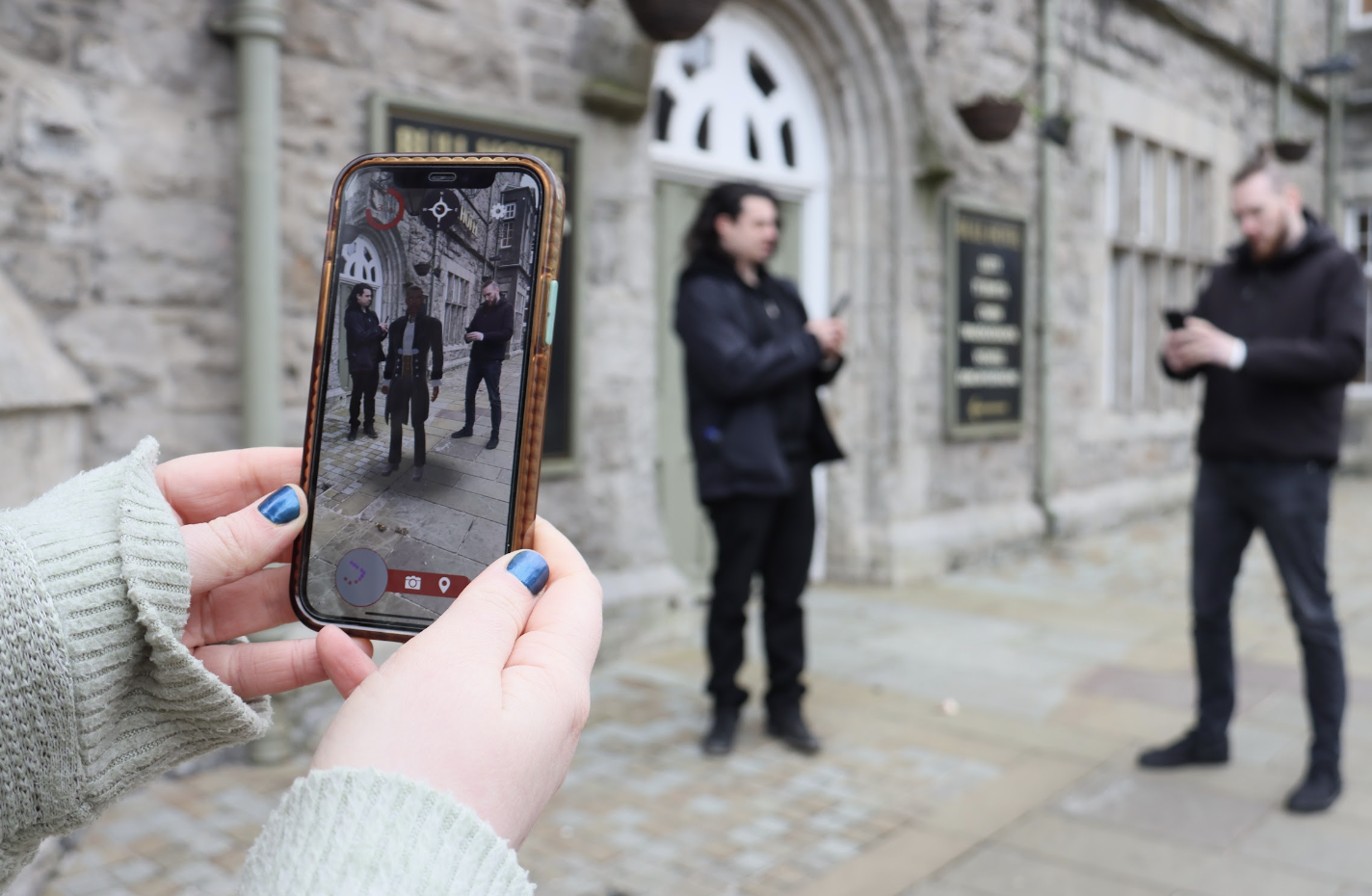
An AR trail app combines GPS with augmented reality. A map on the visitor's phone guides them to a set point. When they arrive and hold up their camera, digital content appears on top of the real scene: a historical figure, a story, a building as it once stood, or wildlife that lived there.
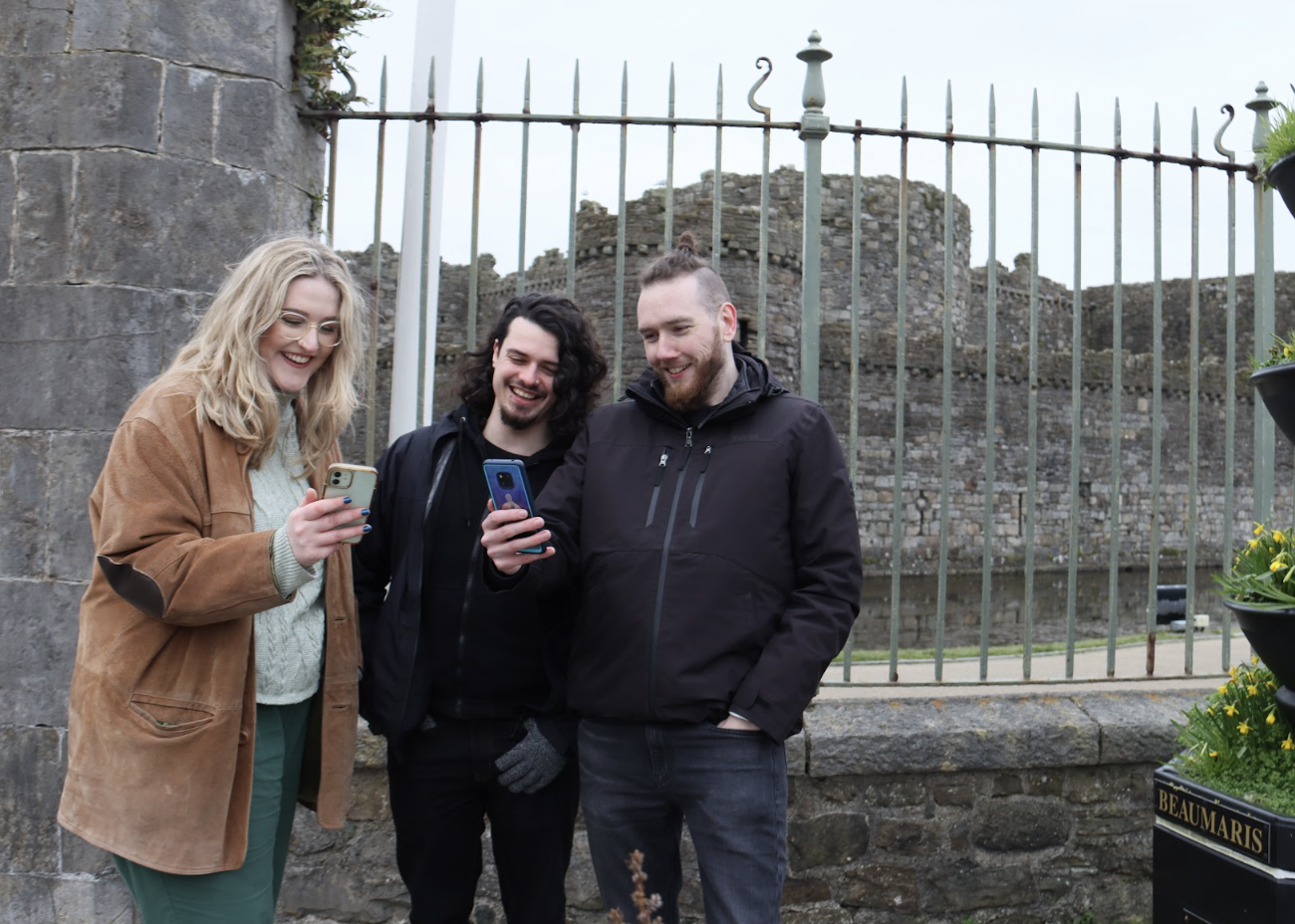
Think of it as Pokémon Go for real places. Visitors walk the route, phone in hand, and uncover hidden layers of the place they are exploring.
What AR adds to a trail
Enhanced navigation
Traditional trail apps give a map and waypoints. AR trail apps overlay direction cues onto the camera view, so walkers stay on track even on complex routes and feel more confident along the way.
Interactive points of interest
As visitors approach a location, AR content appears on screen with information about the plants, wildlife and landmarks around them. Exploring becomes part learning, part game.
Virtual signposts
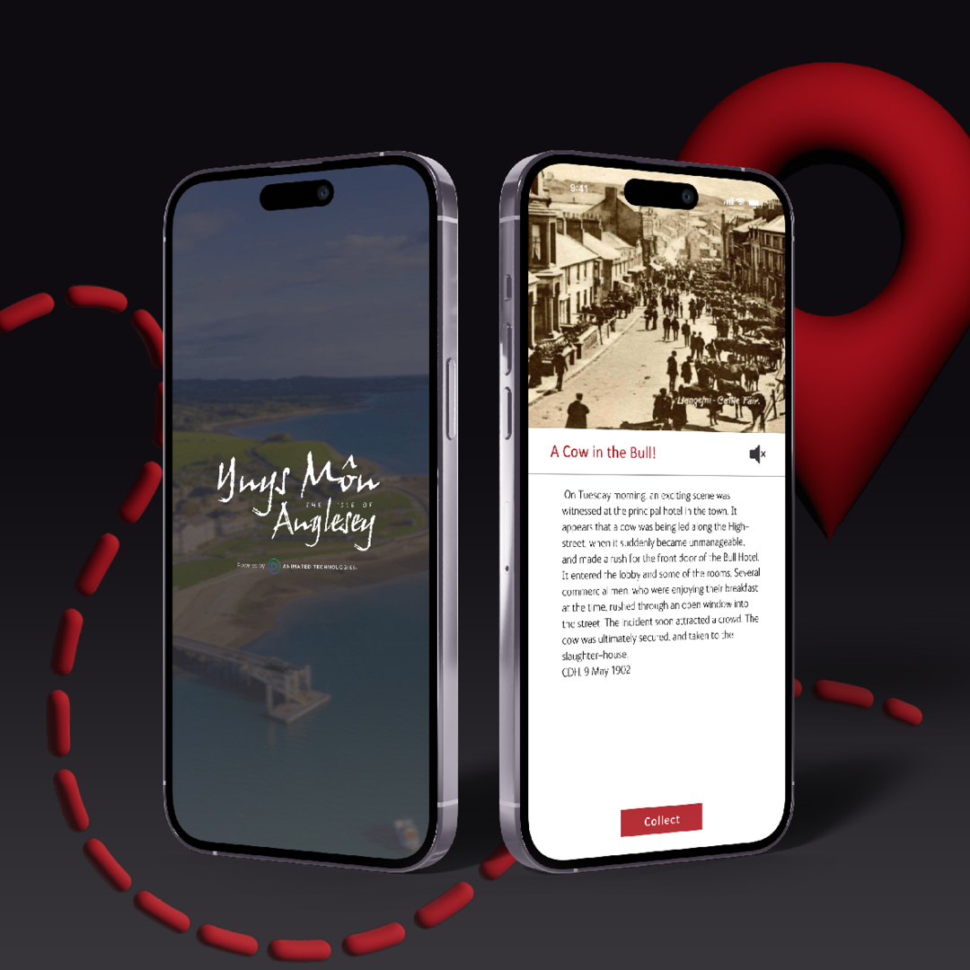
Instead of physical boards, virtual signposts share local history, ecology facts and trivia as rich media: 3D models, audio, animation and video. Visitors are encouraged to pause, look and learn.
Challenges and rewards
Treasure hunts, wildlife spotting quests and quizzes give people a reason to keep walking and to come back again. Geo-tagged photos let visitors save and share what they found.
Why organisations commission AR trails
Education that sticks
AR makes history, culture and myth visual. Seeing an event play out where it happened, or an extinct species brought back to life, helps people of all ages understand and remember it. For local communities, a trail can build pride in the area's story.
More visitors, spread more evenly
A trail can lead visitors to lesser-known spots as well as the famous ones. That spreads foot traffic, eases pressure on busy hotspots and keeps people in the area for longer.
Support for local businesses
Longer visits mean more spending in local shops, cafés and attractions. Trails can also feature local producers, crafts and events along the route.
Accessibility
Visitors who can't reach a rugged section of a trail can still experience it through AR visuals and audio description. Content can be offered in several languages, and everyone moves at their own pace.
Less physical signage
Digital content cuts down on printed leaflets and on boards fixed into sensitive landscapes. It is also far easier to update than a sign.

Planning an AR trail
We design and build bespoke AR apps for heritage sites, councils, parks and tourism bodies, from the story and 3D content through to the finished app on iOS and Android. See our augmented reality services, or get in touch to talk through your trail.